
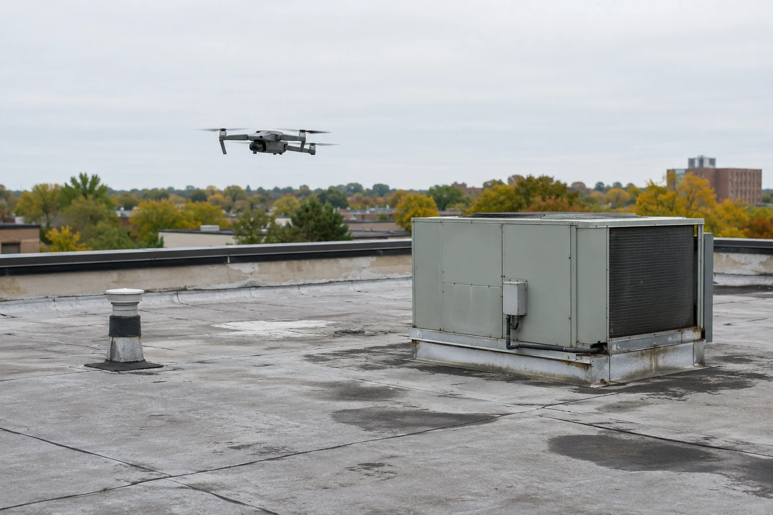
Drone Roof Inspection in Thornton, CO
Thornton drone roof imaging documents broad surfaces, high details and hard-to-access areas. Pair aerial views with hands-on findings and repair priorities.
On a large industrial roof, the first useful question is often where the field crew should inspect on foot. Drone imaging can give the facility team an aerial view of broad surfaces, rooftop equipment and hard-to-reach edges before we define hands-on checks. Thornton’s industrial corridor includes projects such as 25 North Business Park, planned with multiple Class A buildings near I-25 and E-470. That property context illustrates why aerial documentation can help organize a large roof review. The images do not identify concealed moisture or replace direct inspection. We connect each view to a roof zone and mark the conditions that need confirmation.
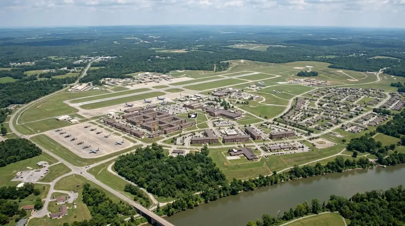
Coverage plan: map the roof before launch
We confirm the building address, roof height, access restrictions, nearby obstructions and areas that need closer review. The facility contact identifies sensitive equipment, restricted operations and preferred flight windows. We plan images by roof zone, not as a single unindexed gallery. A planned grid makes it easier to compare areas, locate curbs and drains, and show where the next hands-on visit should focus. Large sites may need more than one flight window, especially when tenant operations or weather constrain access.
Thornton’s north employment parks include distribution, manufacturing and flex uses. At 25 North Business Park, the development plan provides a range of building sizes and warehouse, showroom, flex and manufacturing uses. Those facts do not tell us what rooftop equipment is present at a specific building. We coordinate with the owner to identify the target roof and verify access. For a multi-building property, a common naming convention keeps each image tied to the correct address and roof section.
Image record: document visible conditions
Aerial photographs can show standing water, debris, displaced materials, open seams, rooftop equipment clusters and areas obscured from a ground view. Oblique angles can help record parapets and perimeter conditions, while overhead views support roof-zone orientation. We note image date, flight limits and any portions that could not be captured. The record is most useful when it preserves original views and labels observations without treating a shadow or color change as a confirmed defect.
We review imagery for conditions that deserve hands-on inspection. A suspected seam opening may need a close visual check. A dark area can reflect water, surface variation, shade or a material change, so we do not call it moisture without supporting evidence. If the review suggests concealed water, we can recommend an infrared moisture survey or test cut. For visible damage, a hands-on roof inspection confirms material, attachment and detail conditions.
Safety and access: set limits before flying
Drone operations depend on weather, airspace, site rules and safe control of the area below. We confirm permission, establish a takeoff and landing point, and avoid disturbing building operations. Wind, precipitation, snow or glare can limit image quality and safe flight. If conditions change, we reschedule or use another inspection method. The facility team should identify overhead wires, active loading areas, security boundaries and any equipment that cannot be photographed.
Industrial sites near I-25 and E-470 often have active truck routes and large parking or loading areas. Aerial planning must account for people and vehicle movement as well as the roof itself. We do not assume the flight can proceed from a public road or over an occupied area. The access plan sets the safe work zone and names a facility contact who can pause operations where required. Images are then reviewed and stored with the property’s roof record.
Weather record: choose a useful image window
Thornton’s storm and winter exposure can influence inspection timing. The May 30 NWS report records hail damage along a track through Thornton and Northglenn. That event can prompt an aerial survey, but the images only record visible conditions at the flight date. Denver’s regional winter snowfall records also matter for access planning. We check the roof and forecast before scheduling and avoid treating a regional climate record as a property condition.
After a hail event, an aerial pass can help locate visible marks, displaced edge components or debris over a broad area. It cannot determine whether a membrane is punctured, whether insulation is wet or whether damage is claim-related. We label observations and schedule field checks where the images raise a question. The result supports a prioritized storm inspection or claim record while keeping confirmed findings separate from items awaiting review.
Deliverable: turn images into roof actions
The owner receives dated images organized by building and roof zone, a summary of visible conditions, areas needing a hands-on check and access limits. We can mark apparent ponding, debris, equipment congestion and damage patterns for follow-up. The summary avoids diagnosis beyond the evidence. If a roof section was blocked by equipment or weather, the report identifies that gap so it is not mistaken for an inspected surface.
For a portfolio, consistent image labels can help compare inspection history and set repair priorities. Aerial documentation may support a condition report or multi-site review, but each property still needs its own condition record. We can convert verified findings into a repair scope, maintenance task or testing recommendation. For a building near North Washington Commerce Center, we coordinate access with the site and confirm the building boundaries before flight.
Next inspection: confirm what the camera found
Aerial views are a useful first record when roof access is difficult or the surface is extensive. They become more valuable when the owner can act on what they show. We flag urgent visible concerns, rank uncertain areas for field review and note the next inspection date. When a photo reveals a clear defect, we still check the material and surrounding detail before choosing a repair. When the photo is inconclusive, testing or direct access answers the question.
Share the roof plan, building list, access restrictions, operating calendar and any recent leak or storm report. We will define flight coverage, arrange a safe work window and pair the imagery with the right follow-up. If immediate water entry is reported, the response begins with leak protection, not an aerial survey alone.
Commercial Roofing Questions
What can a drone see that a ground inspection might miss?
An aerial view can document broad roof areas, roof edges above ground, equipment clusters and sections blocked from a ground angle. It helps orient the inspection and show visible changes across zones. It cannot confirm hidden moisture, fastener pull-out, membrane bond or every seam condition. We use the image to direct hands-on review where the evidence calls for it.
Can drone photos prove hail damaged the roof?
Photos may show visible impacts or displaced materials, but an image alone does not prove the cause of a roof condition. NWS records place a damaging hail track through Thornton and Northglenn on May 30, 2024. We compare dated imagery with field findings, identify the roof material and document whether a closer inspection or test is needed.
How do you cover several buildings in one site?
We agree on the building list and flight boundaries before launch. Each image set receives the address, roof section and capture date. We note exclusions caused by access, weather or site activity. This prevents photos from being filed to the wrong asset and helps the owner prioritize follow-up across a portfolio.
What if the drone shows a dark or wet-looking area?
We treat it as an observation to verify. Shade, surface color, dirt and standing water can look similar in an aerial image. A hands-on check, moisture scan or core sample may be needed to determine the condition below the membrane. The report states which step can confirm the finding.
Can a drone inspection replace a hands-on inspection?
No single method answers every roof question. Drone imagery supports broad visual coverage and access planning. A hands-on inspection checks seams, flashings, attachments and materials at close range, while moisture testing addresses concealed conditions. We select the combination based on roof size, access and the decision the facility team needs to make.
Build an image plan around the roof inventory
Send the property list, roof plans, access constraints, operating calendar and recent leak notes. We will map coverage, collect dated imagery and identify the areas needing field confirmation.
Call 555-555-5555 or send the form and we will set up a visit.